Introduction:
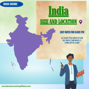
India is a country that is vast in size and diverse in culture. Geographically, it lies in a location where different kind of natural resources are found. By putting these resources into use, it has achieved social and economic growth in various sectors such as agriculture, industry, technology. So, in this lesson we will study about the size and location of India and also understand the significance of the location of India.
Location:
- India lies entirely in the Northern hemisphere.
- The mainland extends between latitudes 8 degree 4 minutes North and 37 degree 6 minutes North and longitudes 68 degree 7 minutes East and 97 degree 25 minutes East.
- The Tropic of Cancer (23 degree 30 minutes North) divides the country into almost two equal parts.
Size:
- The land mass of India has an area of 3.28 million square km.
- India’s total area accounts for about 2.4 percent of the total geographical area of the world.
- India is the seventh largest country of the world.
- Moreover, the land boundary of India is about 15,200 km and the total length of the coastline of the mainland, including Andaman and Nicobar and Lakshadweep is 7,516.6 km.
- South of about 22 degree north latitude, it begins to diminish and extends towards the Indian Ocean, dividing it into two seas, the Arabian Sea and Bay of Bengal.
- The latitudinal and longitudinal extent of the mainland is about 30 degree.
- Also, the North-South length is 3214 km and the East-West length is 2933 Km.
Since there is time lag of two hours between Gujarat and Arunachal Pradesh, the India follows the Indian Standard time (IST). The imaginary line (i.e 82 degree 30 minutes East) that passes through Mirzapur, Uttar Pradesh is taken as the Standard time for the whole country.
Note: Latitudinal extent influences the duration of day and night, as one moves from south to north. Interestingly, the duration of day and night is almost equal on the equator.
India and the World:
- The Indian landmass has a central location between the East and the West Asia due to several reasons.
- Trans Indian Ocean routes provide the link with Europe and East Asia.
- Deccan Peninsula bulge out into the Indian Ocean, thus, it helps India to establish close contact with West Asia, Africa and Europe.
In 1869, the Suez Canal (Mediterranean Sea to Red Sea) opening led to reduction in the distance between Europe and India (by 7000 km).
- The routes have contributed in exchange of various things such as:-
- Ideas and commodities.
- The ideas of Upanishads and the Ramayana, the story of Panchtantra.
- The numerals and the decimal system.
- Lastly, the spices, muslin & other merchandise, Greek Sculpture and the architectural styles of dome and minarets.
India’s Neighbors:
- India occupies an important strategic position in South Asia.
- It has 28 states and 8 Union Territories.
- It shares its land boundaries with Pakistan, Afghanistan, China, Nepal, Bhutan, Myanmar and Bangladesh.
- Besides, it has southern neighbors; Sri Lanka and Maldives.
- Note: Sri Lanka is separated from India by a narrow channel of sea formed by the Palk Strait and the Gulf of Mannar.


Very easy notes to understand. Appritiate your hard work mam👍👍👍 thankyou for preparing these notes.
I’m pleased to hear you say that.
You are lodidal mam
Lodidal means osam in my language
Thank you so much, Anonymous! I’d be even more delighted if I knew your name and where you’re commenting from! 😊